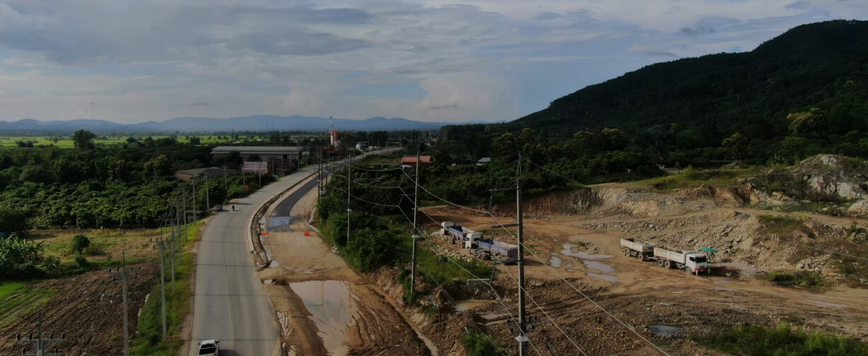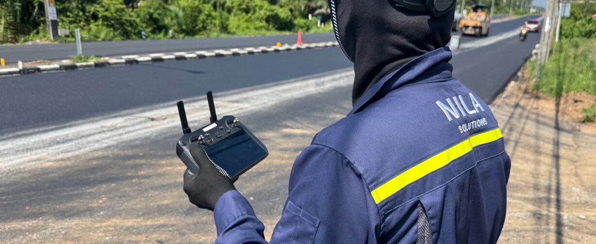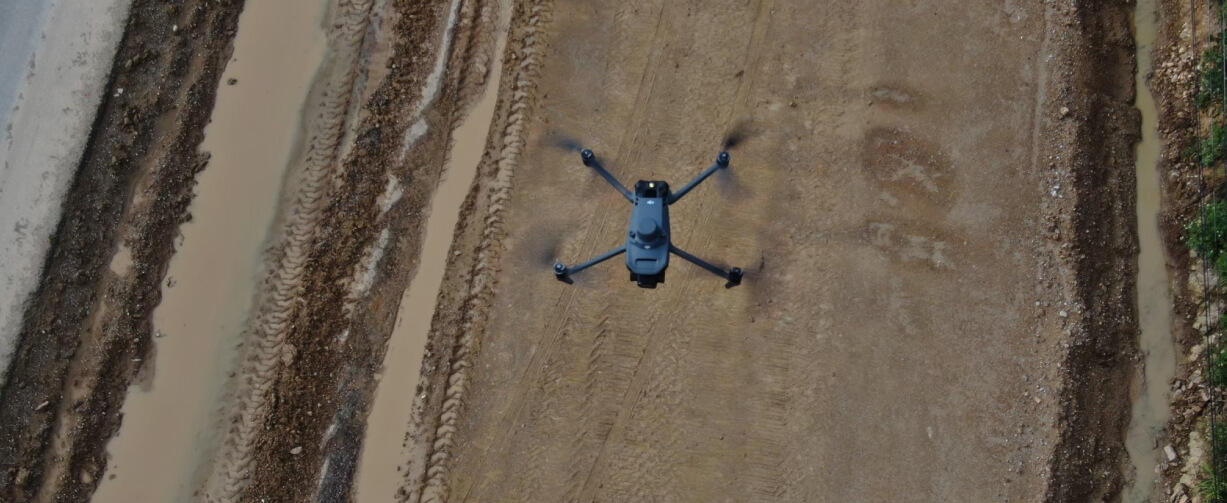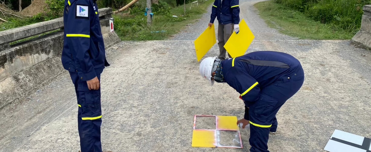
ROAD CONSTRUCTION MONITORING
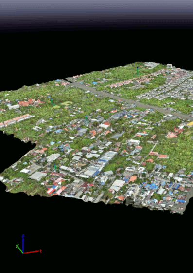
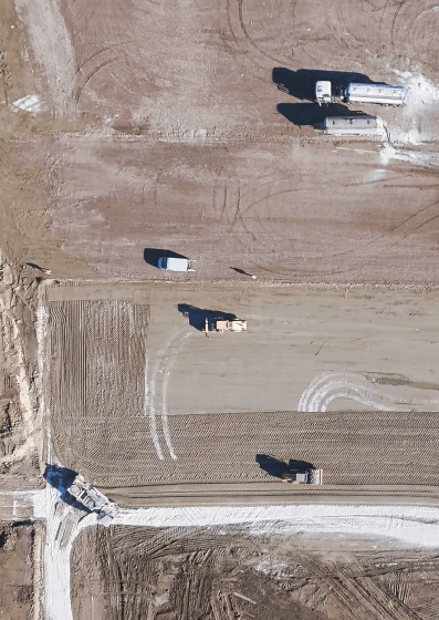
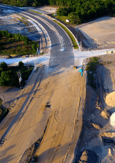
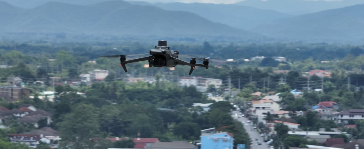
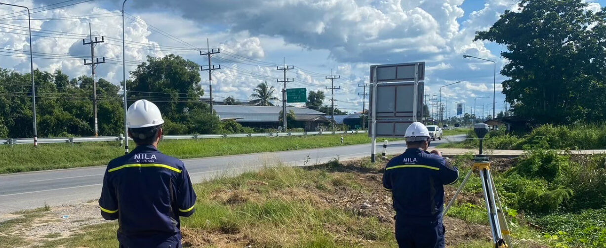
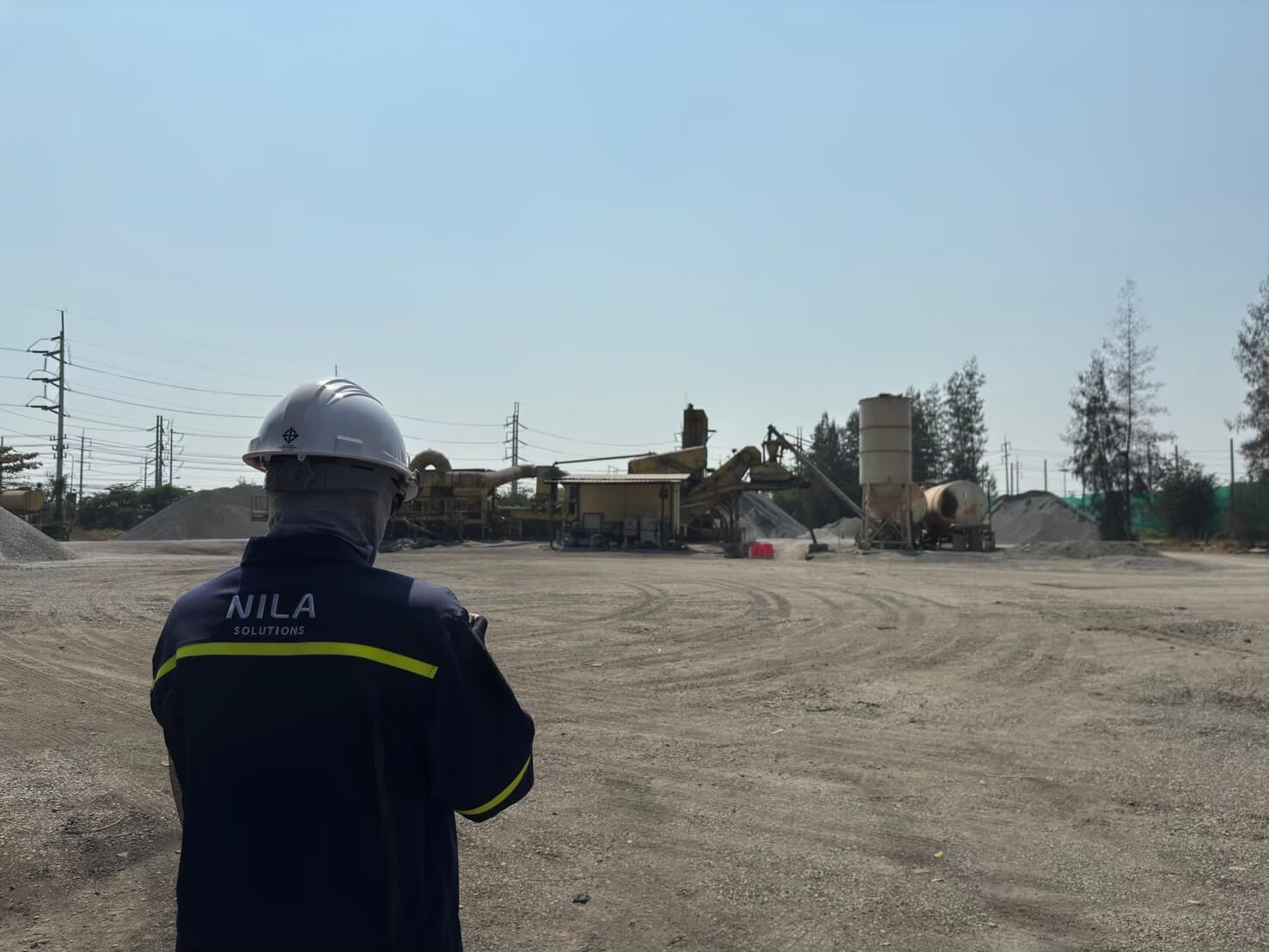
We provide comprehensive services tailored to meet the diverse needs of the road construction industry. Whether you’re managing a hot mix plant or overseeing operations on the field, our solutions are designed to enhance efficiency, precision, and productivity at every stage.
Highlight
Other Information
Operational Benefits
Enhanced Accuracy and Efficiency
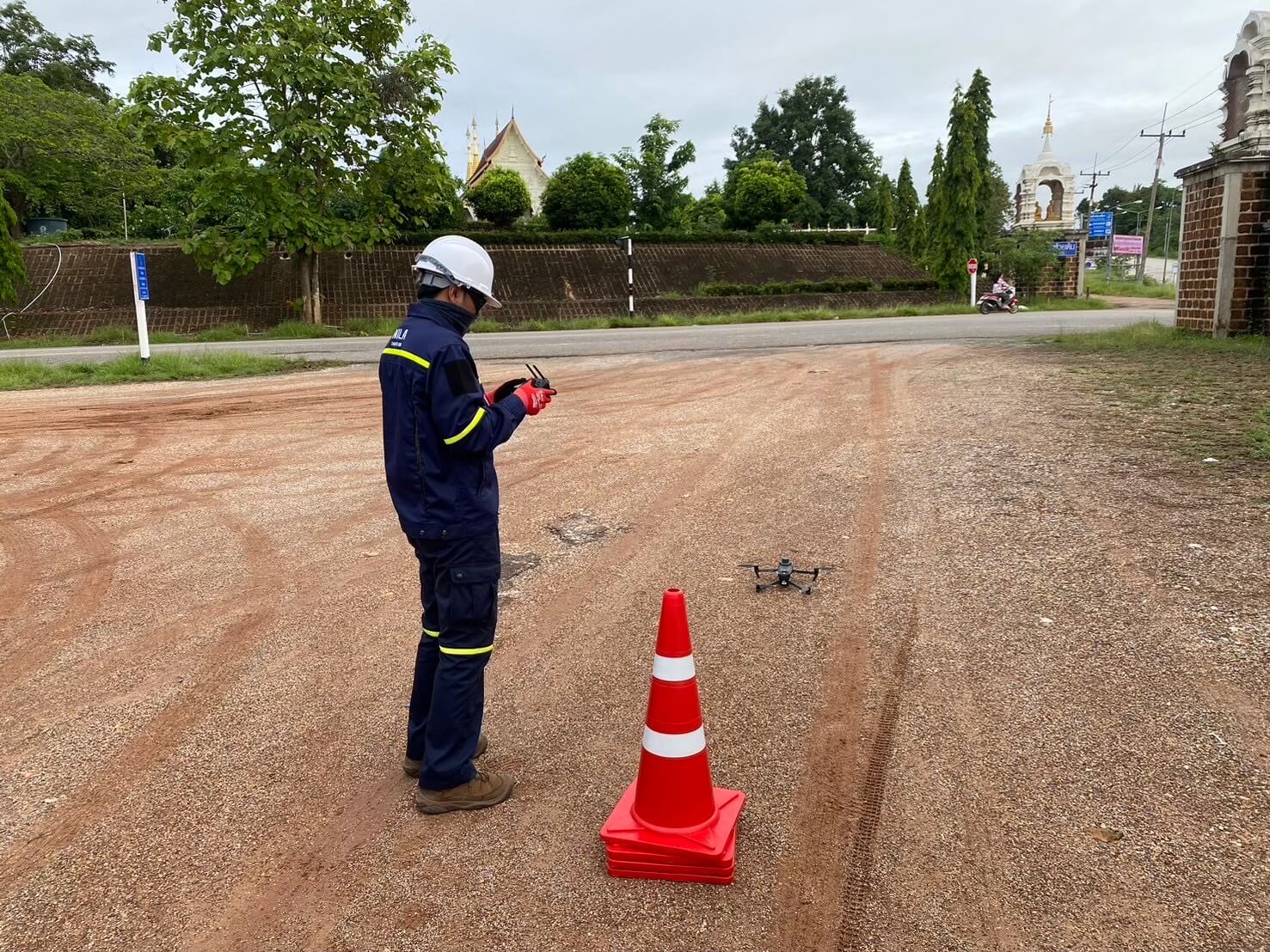
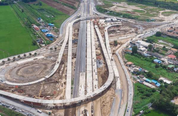
Drone photogrammetry ensures accurate measurements and monitoring, reducing errors and improving project outcomes.
Real-Time Data and Updates
Provides immediate feedback on construction progress, allowing for timely adjustments and improved decision-making.
Cost-Effective Earthwork Management
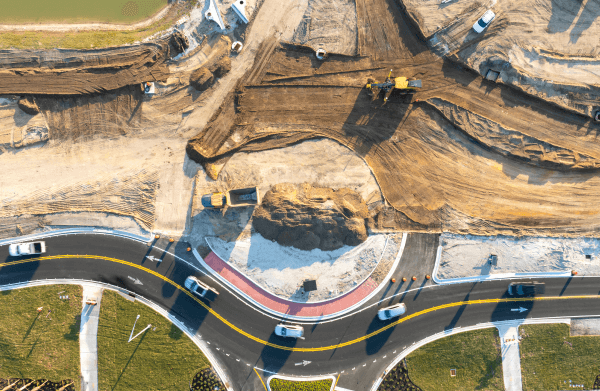
Fill/cut calculations optimize material usage, leading to more efficient and cost-effective project execution.
Improved Stakeholder Communication
Provides a unified data source that enhances collaboration among project stakeholders, leading to better alignment and decision-making.
Project Management Benefits
Streamlined Project Planning
Facilitates effective scheduling, resource allocation, and tracking of construction activities, enhancing overall project management efficiency.
Quality Assurance
Continuous monitoring ensures that the construction process meets quality standards and helps identify issues early, preventing costly rework.
Use Cases


